Guatuso, Alajuela
Guatuso is a canton in the province of Alajuela, Costa Rica. As a canton, it helps explain the country at a closer scale than the province: local government, communities, services, everyday routes, landscape, and belonging. A province explains a region; a canton brings the reader closer to real life, where people study, work, shop, celebrate, travel, and say “I am from here.”
Short answer
Guatuso belongs to Alajuela. It is a broad canton, where territory shapes the way people live and move. Its value in this guide is to locate a concrete part of Costa Rican territory and connect it with the province it belongs to.
Quick facts
- Province: Alajuela.
- Canton code: 215.
- Land area: 752,8 km², according to the IGN/SNIT 2025 Administrative Territorial Division.
- Population: 18.316 people, according to INEC 2022.
- Approximate density: 24 people per km².
Location within Costa Rica
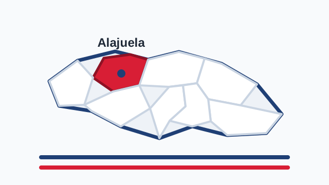
To understand Guatuso, start with its province: Alajuela. Alajuela is known as a broad province where city life, agriculture, mountains, and the northern border meet, and each canton adds a different piece to that territorial reading. In Alajuela, cantons connect the Central Valley with the western towns, northern zone, volcanoes, borderlands, agriculture, industry, and routes into the country. In that whole, Guatuso works as a specific entrance into the human map of the province: not only an administrative name, but a combination of roads, population centers, landscape, services, and local memory.
Population, territory, and scale
Guatuso has 18.316 people, according to INEC’s 2022 Population and Housing Estimate. Its land area is 752,8 km². That equals an approximate density of 24 people per km², useful for reading whether the canton feels urban, rural, dispersed, or mixed. The number does not say everything, but it helps: a small and dense canton is often organized around neighborhoods, commerce, transport, and nearby services; a large canton often depends more on routes, distances, districts, productive activities, and relationships with other zones.
Local history and everyday role
The history of a canton almost never fits into a single date. It is made of opened roads, families arriving, farms changing crops, schools, churches, plazas, small stores, festivals, soccer teams, buses, bridges, and place names people recognize before seeing them written. Guatuso should be read that way: as a local government unit, but also as shared memory. Its municipality, districts, and communities form a scale where Costa Rica stops being only a national idea and becomes neighborhood conversation, municipal paperwork, market day, school, playing field, and daily route.
Economy, work, and everyday life
The economy of Guatuso is best understood in relation to Alajuela. Some cantons lean more on commerce, services, education, health care, technology, or metropolitan jobs; others on agriculture, cattle, tourism, fishing, ports, industry, or conservation. In every case, the canton matters because it organizes everyday life: where people work, where they shop, which routes they use, which products circulate, and how family life mixes with public life. Reading Guatuso carefully helps show that Costa Rica does not operate only through national institutions, but through a network of municipalities and communities.
Landscape, identity, and belonging
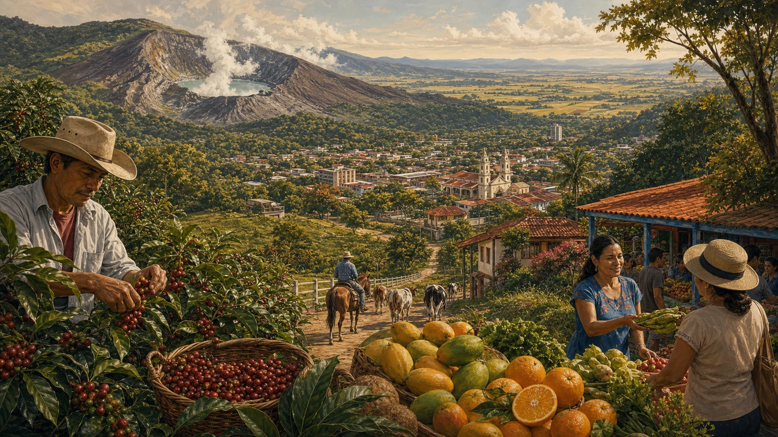
The landscape of Guatuso may be urban, rural, mountainous, coastal, agricultural, commercial, or a mix of several things. What matters is that landscape produces identity. The way people speak about a place changes when mist, heat, beach, coffee fields, roads, rivers, ports, farms, universities, markets, or mountains are nearby. That is why a canton page should not be only a data card. It should help answer practical questions: where it is, which province it belongs to, how it connects with other places, and why its name appears in conversations about Costa Rica.
How to read this canton
A good way to read Guatuso is through three layers. First, as part of Alajuela; second, as a local government unit with a code, area, and its own communities; third, as a place lived by people who are not defined only by statistics. Data helps organize the page, but identity comes from experience: daily routes, food, accents, festivals, landscapes, and family stories.
Summary for understanding Guatuso
To answer what Guatuso is, it helps to say it simply: it is a canton of Alajuela, with municipal government, defined territory, its own communities, and a direct relationship with daily life in the province. That short answer helps, but it does not replace the fuller reading. A canton is also human scale: the place where public decisions become sidewalks, roads, permits, parks, markets, waste collection, cultural activities, and nearby services.
Related links
Sources consulted
- INEC: 2022 Population and Housing Estimate, table 6.1
- IGN/SNIT: 2025 Administrative Territorial Division
Frequently asked questions
Is Guatuso a canton of Costa Rica?
Yes. Guatuso is a canton in the province of Alajuela.
Which province is Guatuso in?
Guatuso belongs to the province of Alajuela.
What is the land area of Guatuso?
According to the IGN/SNIT 2025 Administrative Territorial Division, Guatuso has 752,8 km².
How many people live in Guatuso?
According to INEC’s 2022 estimate, Guatuso has 18.316 people.
Why does Guatuso matter?
Cantons help explain Costa Rica from the local scale: municipal government, services, identity, routes, and everyday life.