Alajuela, Costa Rica

Alajuela is one of Costa Rica’s seven provinces and is known as a broad province where city life, agriculture, mountains, and the northern border meet. To understand it well, it is not enough to place it on a map; it helps to read its cantons, history, forms of work, landscapes, and role in national identity. This page brings together a full overview: basic facts, location, memory, economy, nature, and links to each canton.
Short answer
Alajuela is a Costa Rican province with approximately 1.035.464 people and 9.772,1 km² of land area. Its importance lies in the relationship between territory, services, communities, local history, production, landscape, and everyday life.
Quick facts
- Capital: Alajuela.
- Population: 1.035.464 people, according to INEC’s 2022 population estimate.
- Land area: 9.772,1 km², according to the IGN/SNIT 2025 Administrative Territorial Division.
- Cantons: 16.
- Main character: a broad province where city life, agriculture, mountains, and the northern border meet.
Location in Costa Rica
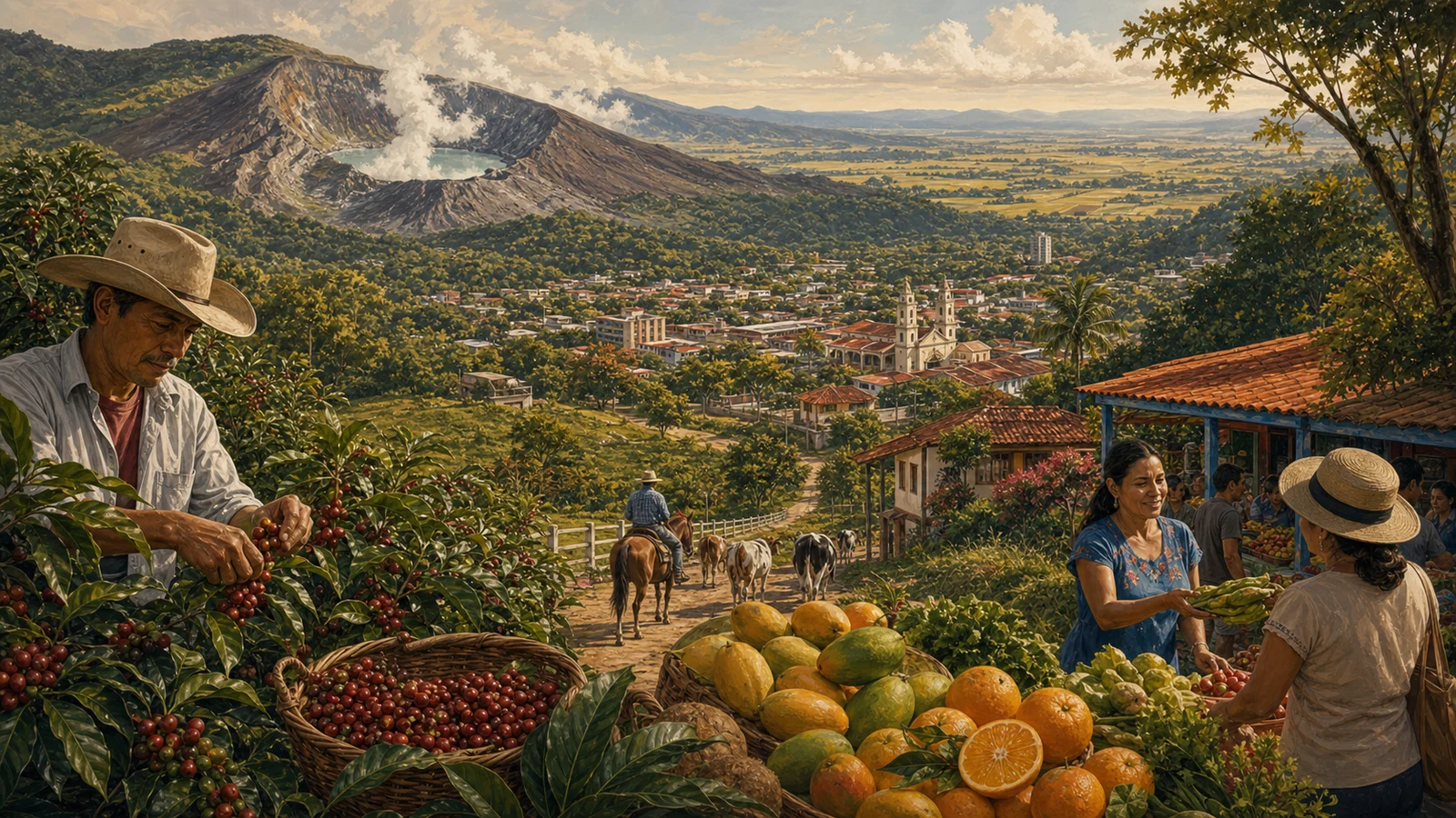
Alajuela occupies a broad portion of central and northern Costa Rica. It begins near the Central Valley, by Juan Santamaría International Airport, and stretches toward San Carlos, Upala, Los Chiles, Guatuso, and the border with Nicaragua. On the map it is a province of transition: it connects metropolitan life with plains, volcanoes, rivers, wetlands, and agricultural routes. That breadth gives it a plural personality, because Alajuela is neither only city nor only countryside; it is a doorway into several Costa Ricas at once.
History and role in the country
Alajuela’s history has an unavoidable national symbol: Juan Santamaría, associated with the 1856 National Campaign and with an idea of popular courage still taught in schools. But its history does not end there. Alajuela also grew through trade routes, farms, agricultural towns, sugar mills, coffee fields, and expansion toward the northern zone. Its cantons reveal different stages of the country: the coffee-growing Central Valley, agricultural frontier settlement, cattle life, and communities built around rivers, volcanoes, and roads.
Economy, agriculture, and everyday life
Alajuela’s economy is one of the country’s most diverse. In the central area there is commerce, logistics, industry, services, free trade zones, and the strategic weight of the airport. In the western cantons there are coffee, sugar cane, nurseries, craft traditions, and town life. In San Carlos and the northern zone, cattle, dairy, pineapple, roots, tubers, and other agricultural activities are prominent. This mix makes Alajuela essential for feeding, connecting, and moving Costa Rica. It produces flights, milk, fruit, industrial work, and rural memory.
Landscape, climate, and biodiversity
Alajuela has emblematic volcanoes such as Poás and routes toward Arenal, but also warm plains, cool mountain towns, powerful rivers, and border wetlands. Its climate changes quickly with altitude: springlike in Atenas, cold in Zarcero, humid in San Carlos, warmer toward the north. In that variety there is a Costa Rican lesson: the country is small, but every hour of road can change the vegetation, the smell of the air, and the rhythm of conversation.
Cantons of Alajuela
- Alajuela
- San Ramón
- Grecia
- San Mateo
- Atenas
- Naranjo
- Palmares
- Poás
- Orotina
- San Carlos
- Zarcero
- Sarchí
- Upala
- Los Chiles
- Guatuso
- Río Cuarto
Why Alajuela matters
Alajuela matters because it shows the country in motion. Many people enter Costa Rica through it, products move through it, and travelers pass through it toward volcanoes, borderlands, farms, and towns. Its identity mixes civic pride, agricultural work, modern industry, and everyday life tied to family and neighborhood. It is a generous province: wide in territory, diverse in climate, and deeply connected to the national imagination. When Costa Rica speaks of courage, work, and fertile land, Alajuela is almost always part of the conversation.
It is also useful to read Alajuela within the national whole: all Costa Rican provinces, the difference between province, canton, and district, and the pages on Costa Rican culture. Each Costa Rican province appears differently in the national conversation. Some are explained through urban life, others through countryside, coast, mountains, ports, borders, or tradition. Alajuela is best understood when those elements are read together.
How to read this province
A good way to read Alajuela is to begin with its cantons and then look at its connections. A province does not live in isolation: it is understood through roads, markets, schools, festivals, work routes, and the names people use to orient themselves. That is why this guide avoids treating it as a fixed dot. Alajuela is territory, but also family memory, public conversation, and a sum of communities. Population helps measure its human size; land area helps measure its physical scale; cantons help show that each province contains many different experiences.
Sources consulted
- INEC: total population by province, 2022
- IGN/SNIT: Administrative Territorial Division 2025
- SINAC: protected wildlife areas
Frequently asked questions
How many people live in Alajuela?
According to INEC’s 2022 population estimate, Alajuela has 1.035.464 people.
What is the land area of Alajuela?
According to the IGN/SNIT 2025 Administrative Territorial Division, Alajuela has 9.772,1 km².
What is Alajuela?
Alajuela is a province of Costa Rica and includes 16 cantons with their own local government.
Why read the canton pages for Alajuela?
Because the canton moves the reader from a general idea of province toward a more concrete view of territory, services, routes, and local life.