Puntarenas, Costa Rica
Puntarenas is one of Costa Rica’s seven provinces and is known as a large province where the Pacific, ports, islands, and southern zone each carry their own weight. To understand it well, it is not enough to place it on a map; it helps to read its cantons, history, forms of work, landscapes, and role in national identity. This page brings together a full overview: basic facts, location, memory, economy, nature, and links to each canton.
Short answer
Puntarenas is a Costa Rican province with approximately 500.166 people and 11.298,0 km² of land area. Its importance lies in the relationship between territory, services, communities, local history, production, landscape, and everyday life.
Quick facts
- Capital: Puntarenas.
- Population: 500.166 people, according to INEC’s 2022 population estimate.
- Land area: 11.298,0 km², according to the IGN/SNIT 2025 Administrative Territorial Division.
- Cantons: 13.
- Main character: a large province where the Pacific, ports, islands, and southern zone each carry their own weight.
Location in Costa Rica
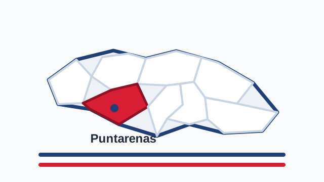
Puntarenas is Costa Rica’s largest province and runs along much of the Pacific coast. Its long shape connects the central Pacific, the Gulf of Nicoya, islands, tourist beaches, port areas, and the deep south down to the border with Panama. On the map it looks like an unfolded coast: long, diverse, and difficult to summarize. It borders Guanacaste, Alajuela, San José, Limón, and Panama, making it a maritime, border, tourism, agricultural, and strategic province.
History and role in the country
Puntarenas’ history is tied to the sea, the port, the railway, commerce, and travel. For decades it was a fundamental outlet for products and people, and also a beloved family getaway from the Central Valley. But Puntarenas is not only the old port trip: it includes the peninsula, the central Pacific, fishing communities, southern towns, Indigenous territories in Buenos Aires, and a historical relationship with bananas, palm, cattle, and borderland life. Its history is coastal and deep at the same time.
Economy, agriculture, and everyday life
Puntarenas’ economy combines tourism, fishing, port activity, commerce, services, oil palm, rice, cattle, agriculture, and conservation. Jacó, Quepos, Manuel Antonio, Monteverde, Osa, Golfito, and Puerto Jiménez reveal local economies that differ greatly from one another. In some places tourism dominates; in others, fishing, agriculture, border commerce, or biodiversity protection carries more weight. That diversity means Puntarenas cannot be understood as a single city. It is a province of many coasts, many routes, and many ways of earning a living.
Landscape, climate, and biodiversity
Puntarenas has one of the country’s most varied landscapes: mangroves, islands, surf beaches, gulfs, green mountains, rainforests, rivers, marine parks, and the Osa Peninsula, one of Costa Rica’s richest ecological territories. It also includes Monteverde, with its cloud forest, and the central Pacific, where the highway brings the beach closer to urban life. Puntarenas teaches that the Costa Rican sea is not decorative background; it is food, work, tourism, biodiversity, and family memory.
Cantons of Puntarenas
- Puntarenas
- Esparza
- Buenos Aires
- Montes de Oro
- Osa
- Quepos
- Golfito
- Coto Brus
- Parrita
- Corredores
- Garabito
- Monteverde
- Puerto Jiménez
Why Puntarenas matters
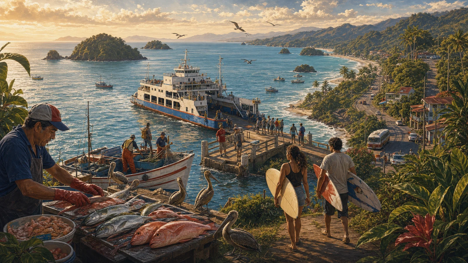
Puntarenas matters because it gives Costa Rica horizon. It is a province of boats, ferries, ceviche, churchill, piers, sunsets, and long trips. But it is also a territory of communities sustaining difficult economies, extraordinary biodiversity, and cantons that often look more toward the sea than toward the political center. Its identity is as broad as its coast. When Costa Rica thinks of rest, fishing, adventure, ports, the south, and the Pacific, Puntarenas appears as an essential province for imagining the whole country.
It is also useful to read Puntarenas within the national whole: all Costa Rican provinces, the difference between province, canton, and district, and the pages on Costa Rican culture. Each Costa Rican province appears differently in the national conversation. Some are explained through urban life, others through countryside, coast, mountains, ports, borders, or tradition. Puntarenas is best understood when those elements are read together.
How to read this province
A good way to read Puntarenas is to begin with its cantons and then look at its connections. A province does not live in isolation: it is understood through roads, markets, schools, festivals, work routes, and the names people use to orient themselves. That is why this guide avoids treating it as a fixed dot. Puntarenas is territory, but also family memory, public conversation, and a sum of communities. Population helps measure its human size; land area helps measure its physical scale; cantons help show that each province contains many different experiences.
Sources consulted
- INEC: total population by province, 2022
- IGN/SNIT: Administrative Territorial Division 2025
- SINAC: protected wildlife areas
Frequently asked questions
How many people live in Puntarenas?
According to INEC’s 2022 population estimate, Puntarenas has 500.166 people.
What is the land area of Puntarenas?
According to the IGN/SNIT 2025 Administrative Territorial Division, Puntarenas has 11.298,0 km².
What is Puntarenas?
Puntarenas is a province of Costa Rica and includes 13 cantons with their own local government.
Why read the canton pages for Puntarenas?
Because the canton moves the reader from a general idea of province toward a more concrete view of territory, services, routes, and local life.