Heredia, Costa Rica
Heredia is one of Costa Rica’s seven provinces and is known as a Central Valley province with urban life, coffee landscapes, and mountain areas. To understand it well, it is not enough to place it on a map; it helps to read its cantons, history, forms of work, landscapes, and role in national identity. This page brings together a full overview: basic facts, location, memory, economy, nature, and links to each canton.
Short answer
Heredia is a Costa Rican province with approximately 479.117 people and 2.663,3 km² of land area. Its importance lies in the relationship between territory, services, communities, local history, production, landscape, and everyday life.
Quick facts
- Capital: Heredia.
- Population: 479.117 people, according to INEC’s 2022 population estimate.
- Land area: 2.663,3 km², according to the IGN/SNIT 2025 Administrative Territorial Division.
- Cantons: 10.
- Main character: a Central Valley province with urban life, coffee landscapes, and mountain areas.
Location in Costa Rica
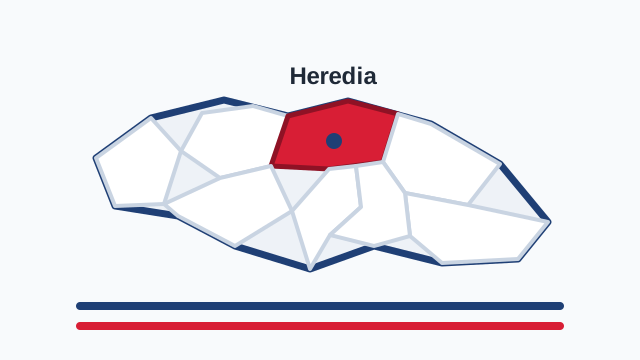
Heredia lies north of the Central Valley and combines a small territorial scale with large influence. It borders Alajuela, San José, and Limón, and extends from dense urban cantons to Sarapiquí, which opens the province toward the humid northern Caribbean plain. On the map, Heredia appears compact, but its shape tells two stories: the coffee-growing city near the capital and the green, rainy, biodiverse corridor that descends toward the north.
History and role in the country
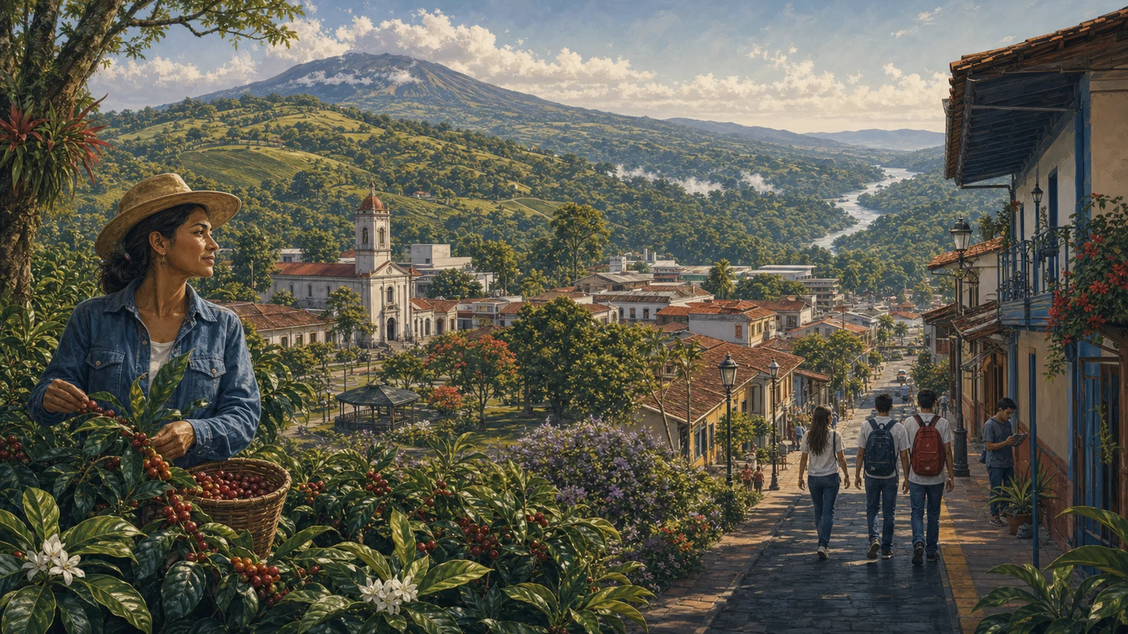
Heredia is known as the City of Flowers, a phrase that captures an image of gardens, homes, calm urban life, and local pride. Its history is tied to coffee, Central Valley towns, churches, education, and families that grew around streets relatively close to one another. Over time, the province changed greatly: universities, free trade zones, industry, technology, and residential expansion transformed former coffee landscapes. Even so, Heredia keeps a recognizable identity made of closeness, tradition, and a strong sense of belonging.
Economy, agriculture, and everyday life
Heredia’s economy combines services, education, technology, industry, commerce, and agriculture. Belén, Flores, and other cantons near the airport form part of an important business corridor, while the National University contributes academic and cultural life. In the highlands, traces of coffee, dairy, and cool-weather crops remain visible. Sarapiquí adds another productive scale: pineapple, banana, roots, cattle, nature tourism, and biological corridors. Heredia is small on the map, but large in economic connections.
Landscape, climate, and biodiversity
Heredia’s landscape changes noticeably: urban neighborhoods, remaining coffee fields, the mountains of Barva, cool air, parks, rivers, and the heavy humidity of Sarapiquí. Part of the province is associated with Braulio Carrillo National Park and forested areas that remind us nature can be very close to the city. That closeness between urban life and greenery is one of its charms. Heredia can be office, classroom, coffee field, mist, and rainforest in one territorial reading.
Cantons of Heredia
Why Heredia matters
Heredia matters because it represents a human-scale Costa Rica that learned to live with modernization. It has cantons where everything feels close, families who recognize one another across generations, university life, global companies, and roads toward tropical forest. Its identity is not loud; it is proud, domestic, educated, and deeply local. To understand Heredia one should look at its flowers, yes, but also its free trade zones, classrooms, mountains, and ability to remain a province even as urban Costa Rica surrounds it.
It is also useful to read Heredia within the national whole: all Costa Rican provinces, the difference between province, canton, and district, and the pages on Costa Rican culture. Each Costa Rican province appears differently in the national conversation. Some are explained through urban life, others through countryside, coast, mountains, ports, borders, or tradition. Heredia is best understood when those elements are read together.
How to read this province
A good way to read Heredia is to begin with its cantons and then look at its connections. A province does not live in isolation: it is understood through roads, markets, schools, festivals, work routes, and the names people use to orient themselves. That is why this guide avoids treating it as a fixed dot. Heredia is territory, but also family memory, public conversation, and a sum of communities. Population helps measure its human size; land area helps measure its physical scale; cantons help show that each province contains many different experiences.
Sources consulted
- INEC: total population by province, 2022
- IGN/SNIT: Administrative Territorial Division 2025
- SINAC: protected wildlife areas
Frequently asked questions
How many people live in Heredia?
According to INEC’s 2022 population estimate, Heredia has 479.117 people.
What is the land area of Heredia?
According to the IGN/SNIT 2025 Administrative Territorial Division, Heredia has 2.663,3 km².
What is Heredia?
Heredia is a province of Costa Rica and includes 10 cantons with their own local government.
Why read the canton pages for Heredia?
Because the canton moves the reader from a general idea of province toward a more concrete view of territory, services, routes, and local life.