Guanacaste, Costa Rica
Guanacaste is one of Costa Rica’s seven provinces and is known as a province shaped by sabanero culture, open plains, coastline, and a strong regional identity. To understand it well, it is not enough to place it on a map; it helps to read its cantons, history, forms of work, landscapes, and role in national identity. This page brings together a full overview: basic facts, location, memory, economy, nature, and links to each canton.
Short answer
Guanacaste is a Costa Rican province with approximately 412.808 people and 10.196,3 km² of land area. Its importance lies in the relationship between territory, services, communities, local history, production, landscape, and everyday life.
Quick facts
- Capital: Liberia.
- Population: 412.808 people, according to INEC’s 2022 population estimate.
- Land area: 10.196,3 km², according to the IGN/SNIT 2025 Administrative Territorial Division.
- Cantons: 11.
- Main character: a province shaped by sabanero culture, open plains, coastline, and a strong regional identity.
Location in Costa Rica
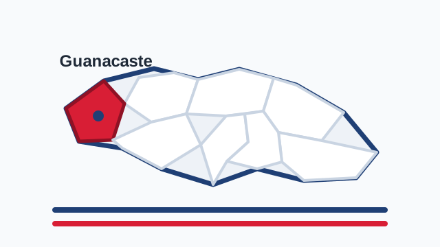
Guanacaste occupies northwestern Costa Rica, bordering Nicaragua, Alajuela, Puntarenas, and the Pacific Ocean. On the map it is a broad, bright, coastal province shaped by the Nicoya Peninsula, open plains, beaches, volcanoes, and tropical dry forest. Its location gives it a personality very different from the Central Valley: more open, warmer, more tied to savanna, cattle, the sea, and a regional history felt with its own strong pride.
History and role in the country
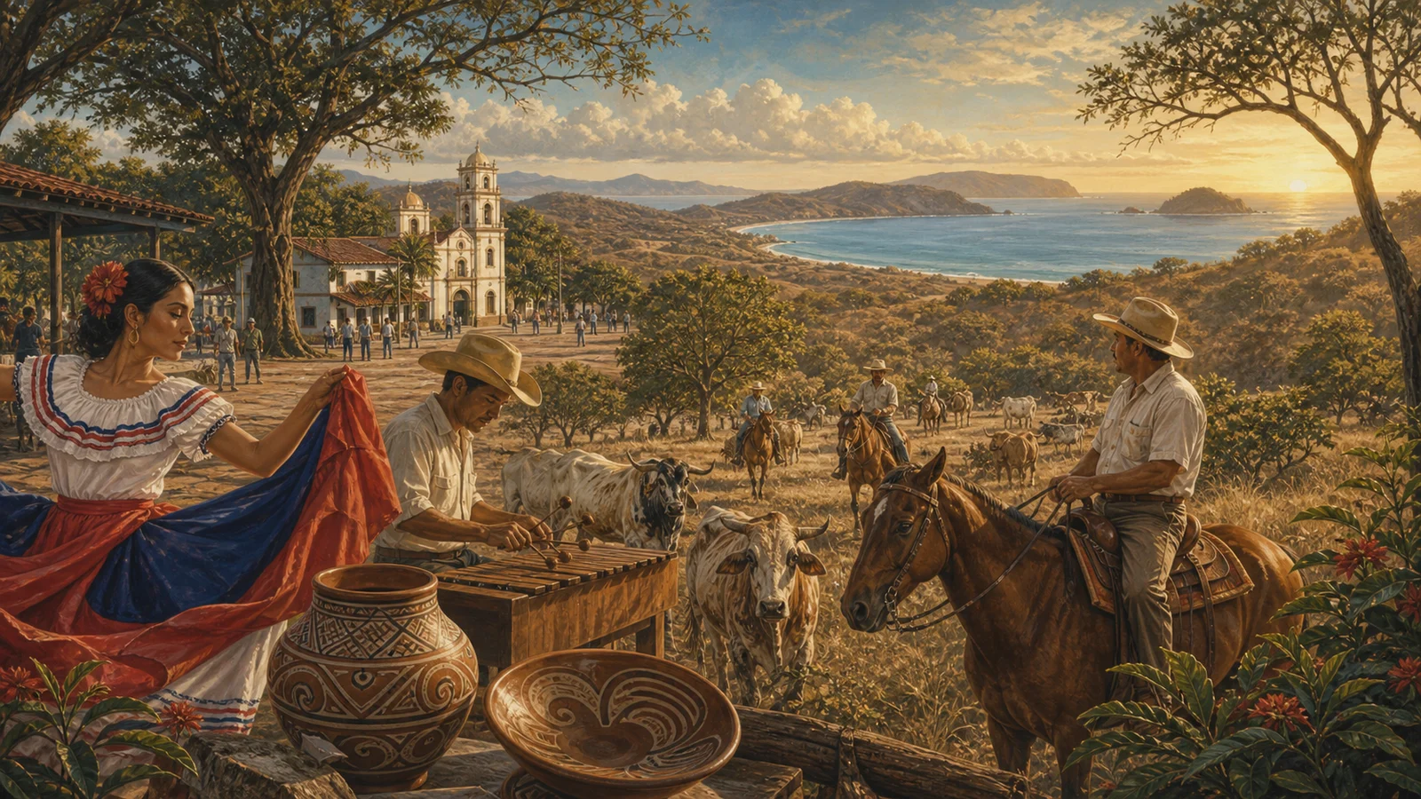
Guanacaste’s history is marked by the 1824 annexation of the Partido de Nicoya to Costa Rica, an event central to national and regional memory. The phrase “de la patria por nuestra voluntad” expresses a political decision, but also a cultural identity. Guanacaste gave the country music, dances, bombas, marimba, food, regional speech, and the figure of the sabanero. It is a province where history is sung and danced, not only archived. That is why its identity is defended with such strength.
Economy, agriculture, and everyday life
Guanacaste’s economy combines cattle, rice, sugar cane, melon, tourism, fishing, commerce, energy, and services. For a long time it was associated with haciendas, open plains, and agricultural production; today it is also one of the country’s best-known tourism regions because of its beaches, hotels, national parks, and airport in Liberia. That transformation brings opportunities and tensions: employment, investment, water pressure, real estate change, and questions about growing without losing identity. Guanacaste produces food, hospitality, culture, and national conversation about development.
Landscape, climate, and biodiversity
Guanacaste has an unmistakable landscape: trees that lose leaves in the dry season, wide skies, heat, wind, dust, beaches, volcanoes, rivers, and sunsets that seem to occupy the whole horizon. Tropical dry forest is one of its ecological treasures, along with protected areas such as Santa Rosa, Rincón de la Vieja, and Palo Verde. It also includes the Nicoya Blue Zone, internationally associated with longevity. Its dry climate and strong light are not details; they are part of the Guanacaste way of being in the world.
Cantons of Guanacaste
Why Guanacaste matters
Guanacaste matters because it reminds Costa Rica that national identity was not born in one valley alone. Being Costa Rican also means hearing marimba, eating rosquillas, speaking with Guanacaste rhythm, looking at the northern Pacific, and recognizing the dignity of the sabanero. The province has exceptional cultural strength: it contributes not only territory and tourism, but character. In Guanacaste, Costa Rica feels wider, brighter, and more aware that belonging can also be a decision made by will.
It is also useful to read Guanacaste within the national whole: all Costa Rican provinces, the difference between province, canton, and district, and the pages on Costa Rican culture. Each Costa Rican province appears differently in the national conversation. Some are explained through urban life, others through countryside, coast, mountains, ports, borders, or tradition. Guanacaste is best understood when those elements are read together.
How to read this province
A good way to read Guanacaste is to begin with its cantons and then look at its connections. A province does not live in isolation: it is understood through roads, markets, schools, festivals, work routes, and the names people use to orient themselves. That is why this guide avoids treating it as a fixed dot. Guanacaste is territory, but also family memory, public conversation, and a sum of communities. Population helps measure its human size; land area helps measure its physical scale; cantons help show that each province contains many different experiences.
Sources consulted
- INEC: total population by province, 2022
- IGN/SNIT: Administrative Territorial Division 2025
- SINAC: protected wildlife areas
Frequently asked questions
How many people live in Guanacaste?
According to INEC’s 2022 population estimate, Guanacaste has 412.808 people.
What is the land area of Guanacaste?
According to the IGN/SNIT 2025 Administrative Territorial Division, Guanacaste has 10.196,3 km².
What is Guanacaste?
Guanacaste is a province of Costa Rica and includes 11 cantons with their own local government.
Why read the canton pages for Guanacaste?
Because the canton moves the reader from a general idea of province toward a more concrete view of territory, services, routes, and local life.